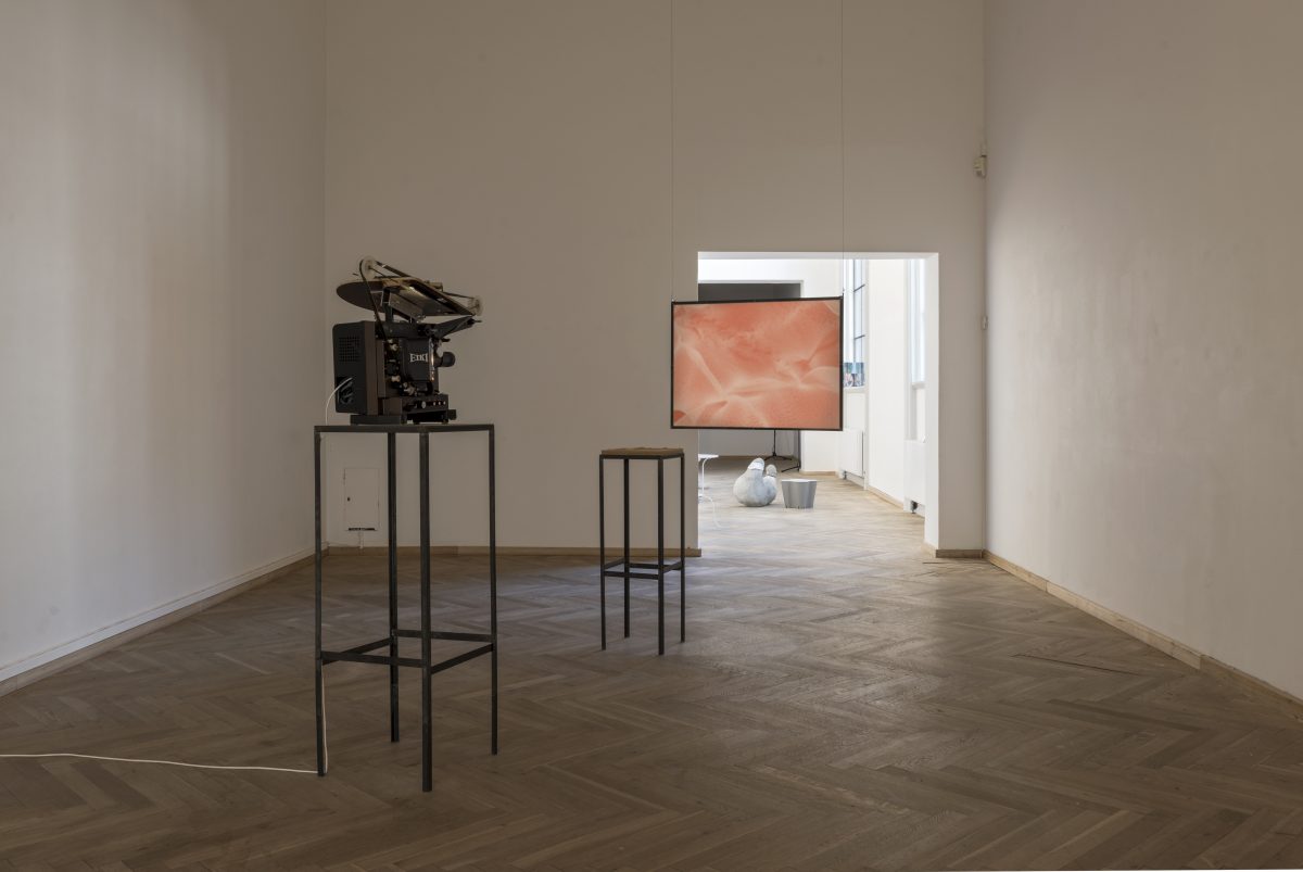
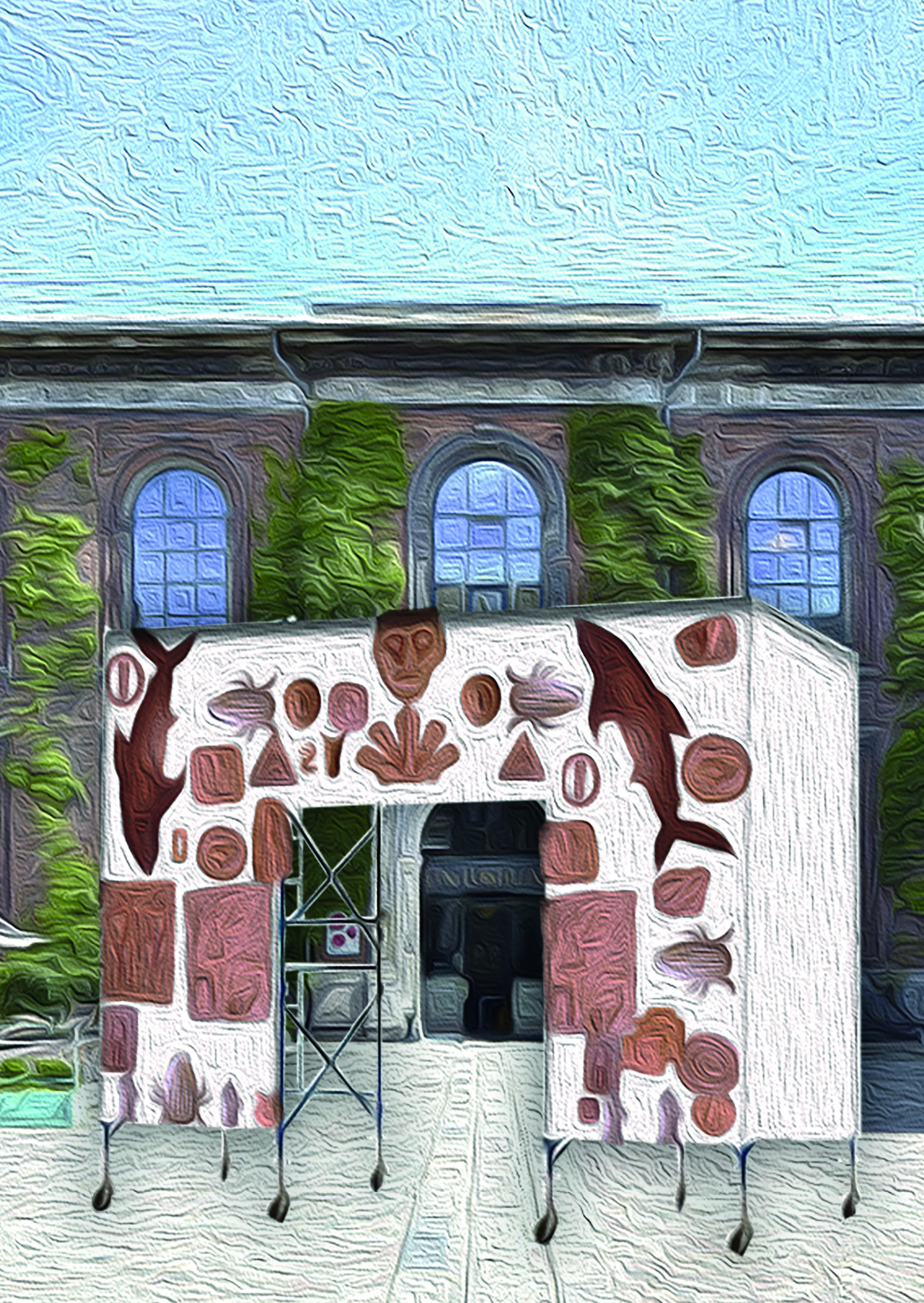
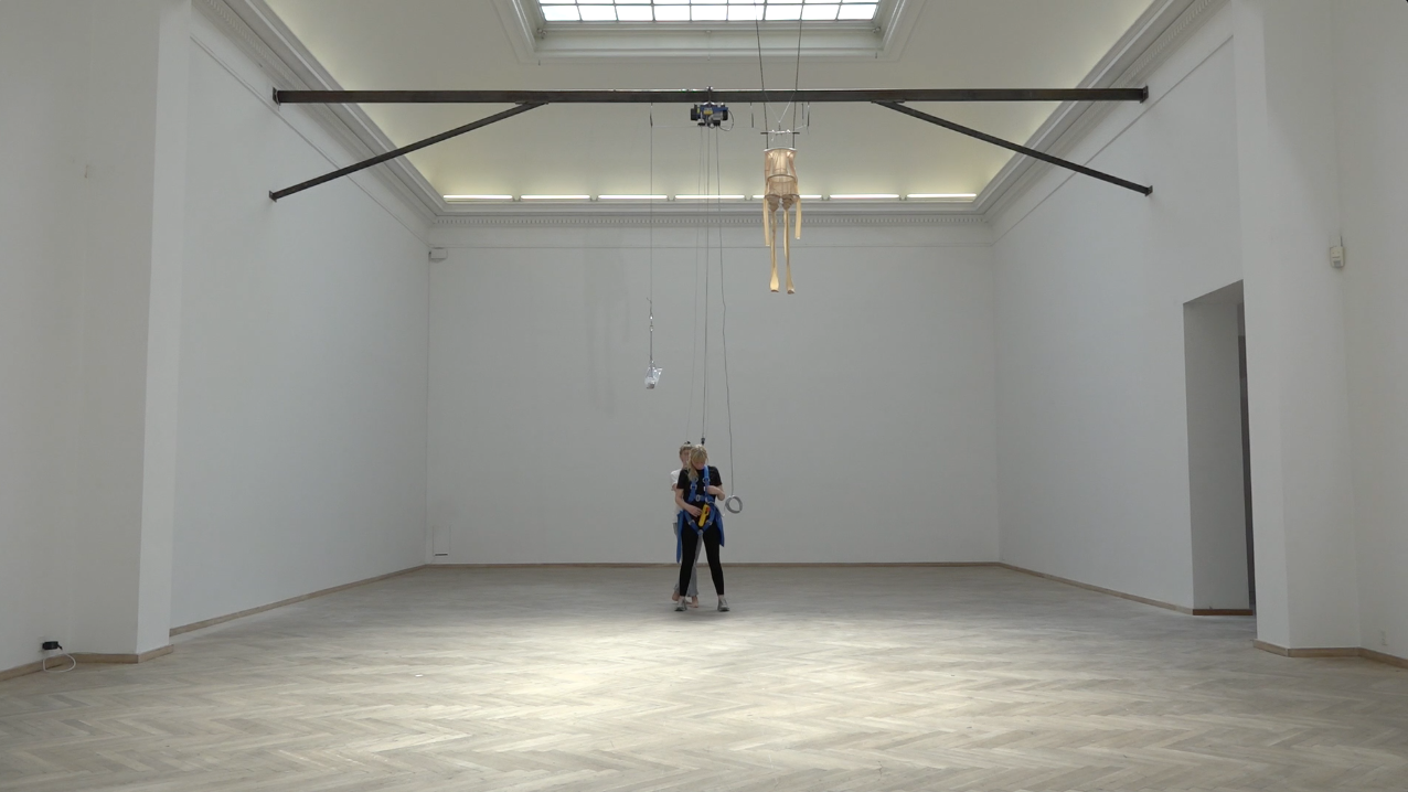
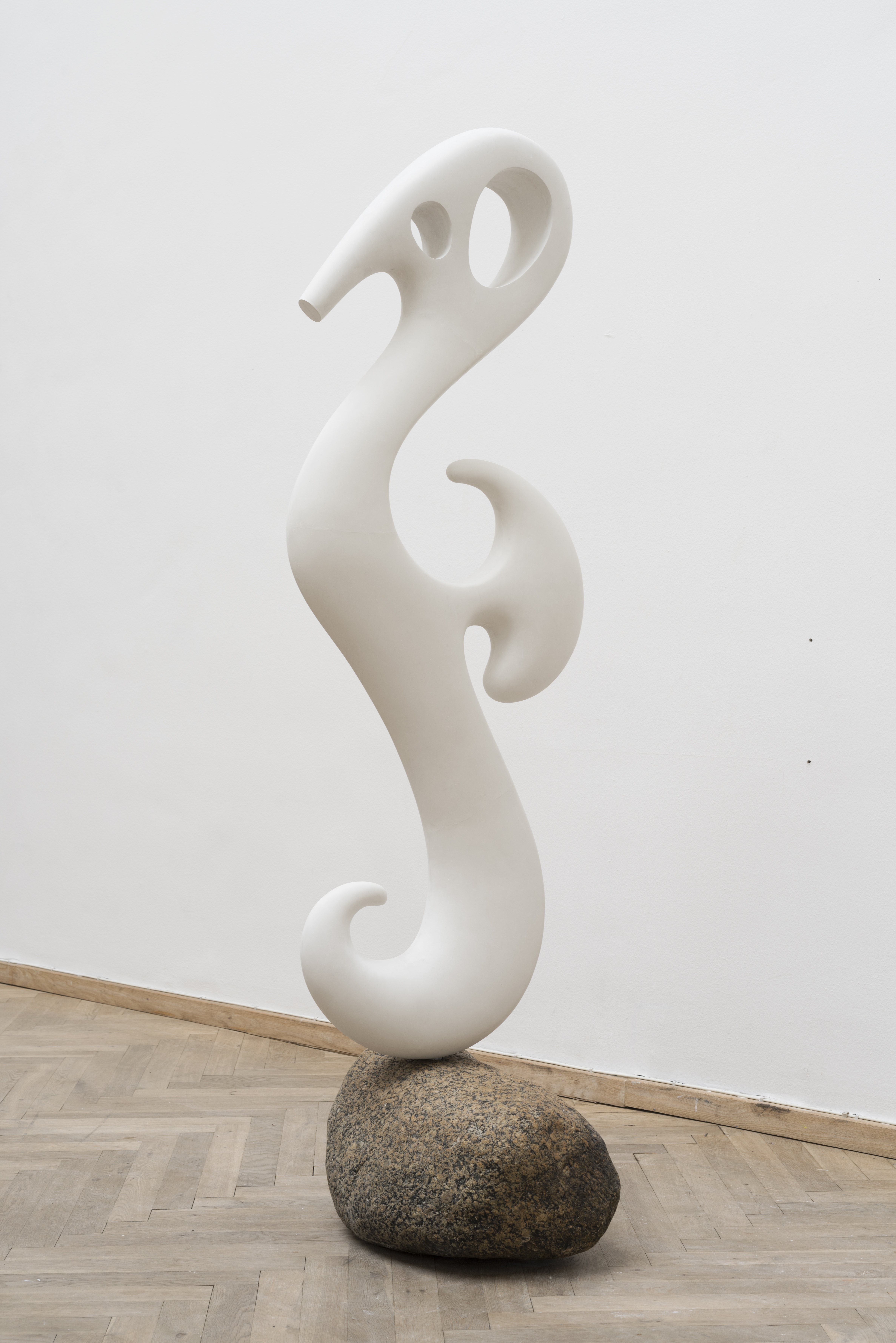
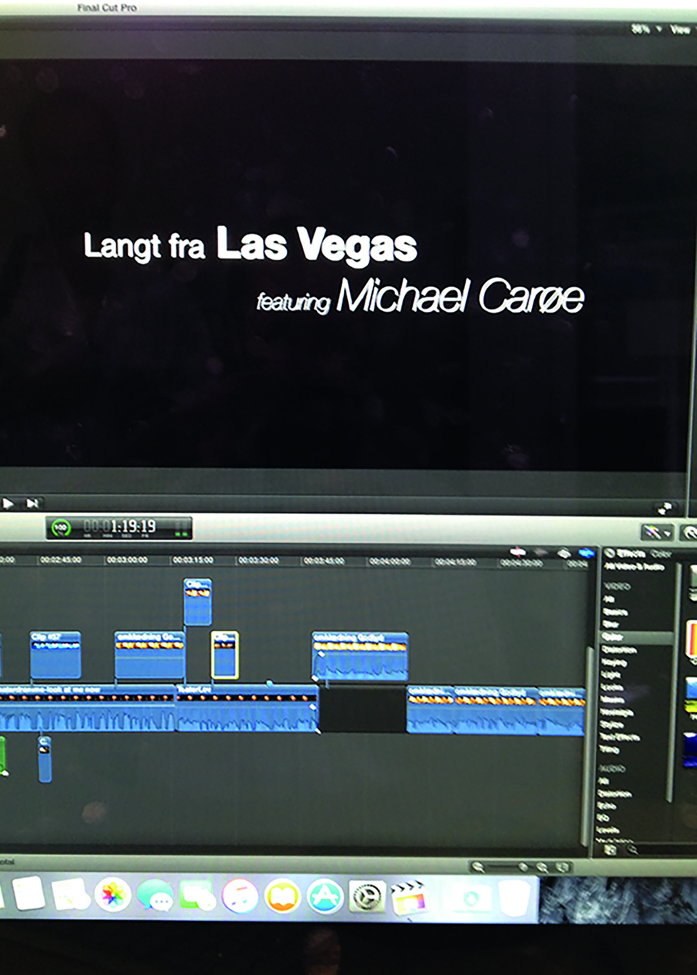
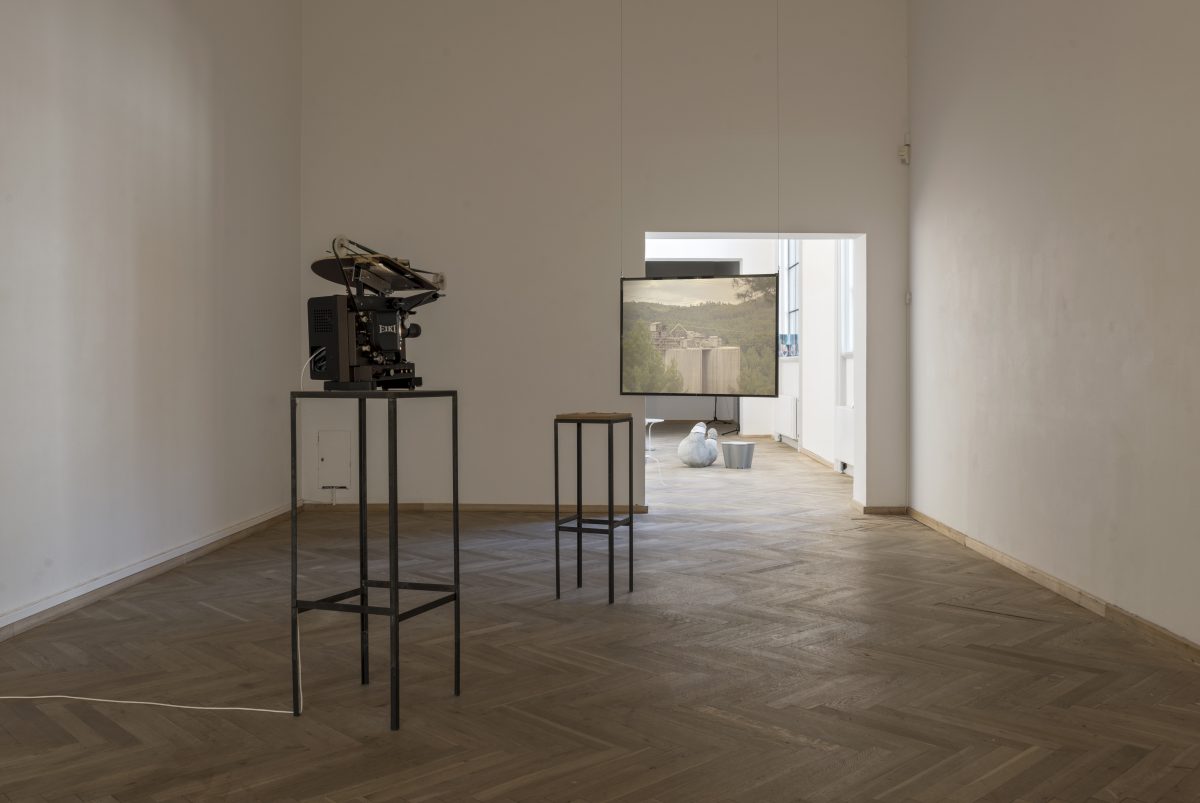
ARRÁBIDA • HÁ SÓ UMA TERRA, 2016
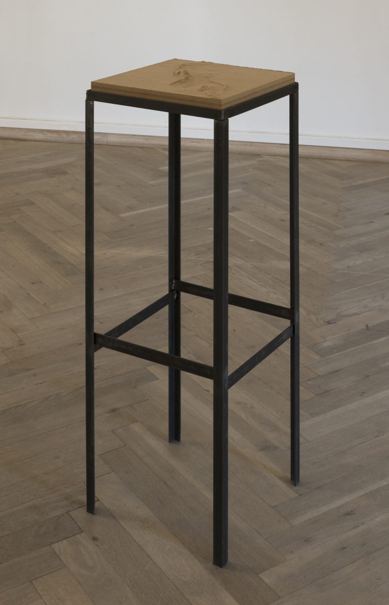
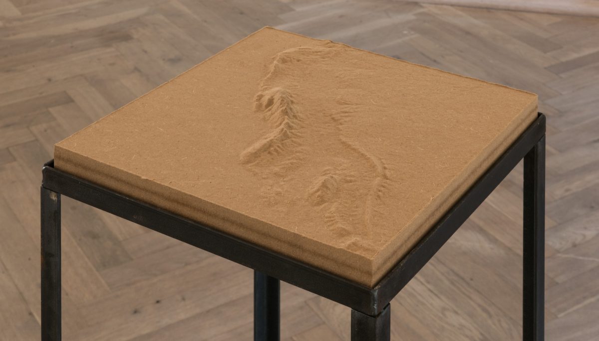
16mm film; 13 min loop, 3D milled topographic map, MDF; 30x30x4cm
ARRÁBIDA • HÁ SÓ UMA TERRA, 2016
16mm film; 13 min loop, 3D fræset topografisk kort, MDF; 30x30x4cm
ARRÁBIDA
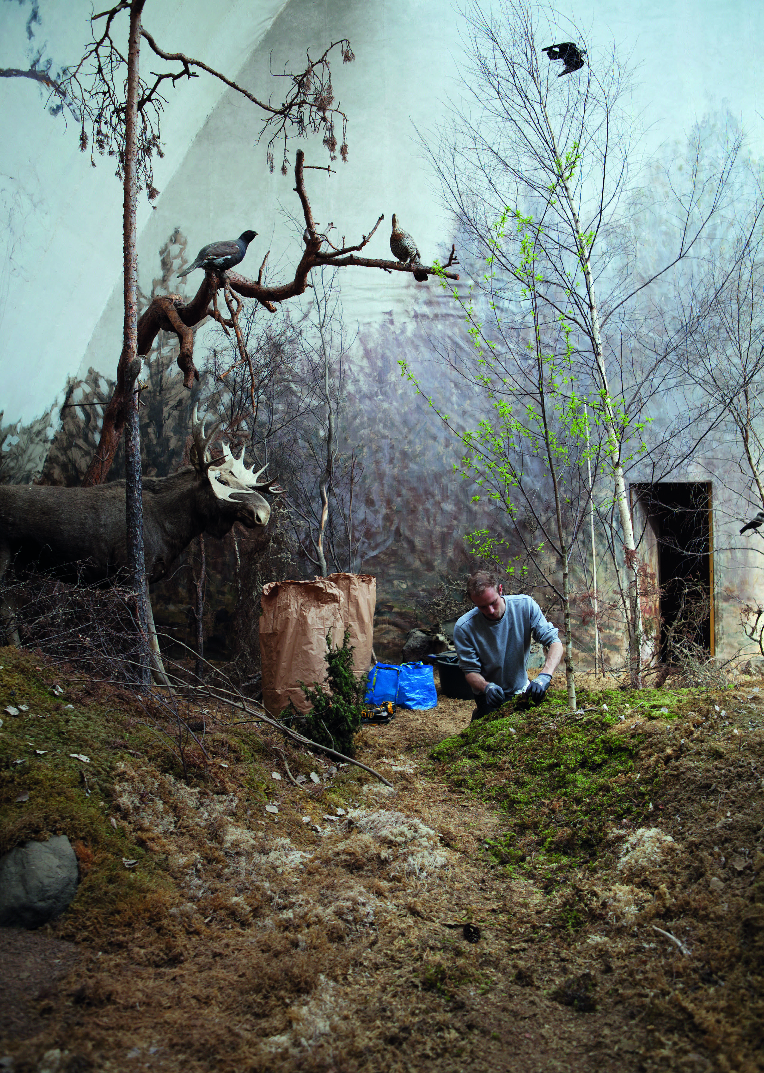
The film revolves around Arrábida Natural Park south of Lisbon, Portugal.
Arrábida Natural Park is located on the northern shore of the Sado River estuary in Portugal. Covering 108 square kilometres, it is one of the 30 areas, which are officially under protection in the country. The park covers the Arrábida Hills, the Mediterranean- like vegetation and microclimate, a number of caves along the coast and the Serra da Arrábida, the highest point in the park at an elevation of 499 meters.
Covering a vast area of coast, caves, mountains and forest, the park is inhabited by a massive concrete factory.
”From the moment human civilizations started to build, they began to look for a material to join stones into a firm and solid mass.” In the Early 1900s, the concrete factory Outão was founded in the valley Vale da Rasca, Arrábida. Set between the limestone Arrábida hills and the clay formations, the plant is situated between raw materials and efficient ways of transportation. The Outão works complex is one of the largest concrete plants in Portugal with a daily output of 1.000 tons.
The factory Outão is centred in a valley, branching through the park via chutes and shuttle systems over and under ground to transport the porous material from the quarries to the factory, then to the shipping harbour.
The raw materials for concrete production consists of a mixture of limestone, marlstone and clay sourced from quarries and open cast mines, working along platforms or storeys along the vertical section of the Earth. Quarried blocks of material are crushed to molecular particles. In its simplest form, concrete is a mixture of paste and aggregates. The paste, composed of cement and water, coats the surface of the fine and coarse aggregates. Through a chemical reaction called hydration, the paste hardens and gains strength to form the rock-like mass known as concrete.
There is a constant movement of material through the park, covering the landscape in concrete dust.
16mm is an analogue moving image film format. Coated onto a thin layer of film, the photographic emulsion is a fine suspension of light-sensitive, solid crystals in a liquid substance. When exposed to light and later chemically developed, the formations of the crystals change to black metallic silver particles that form the image. Colour films have multiple layers of emulsion with dye added acting as optical filters.
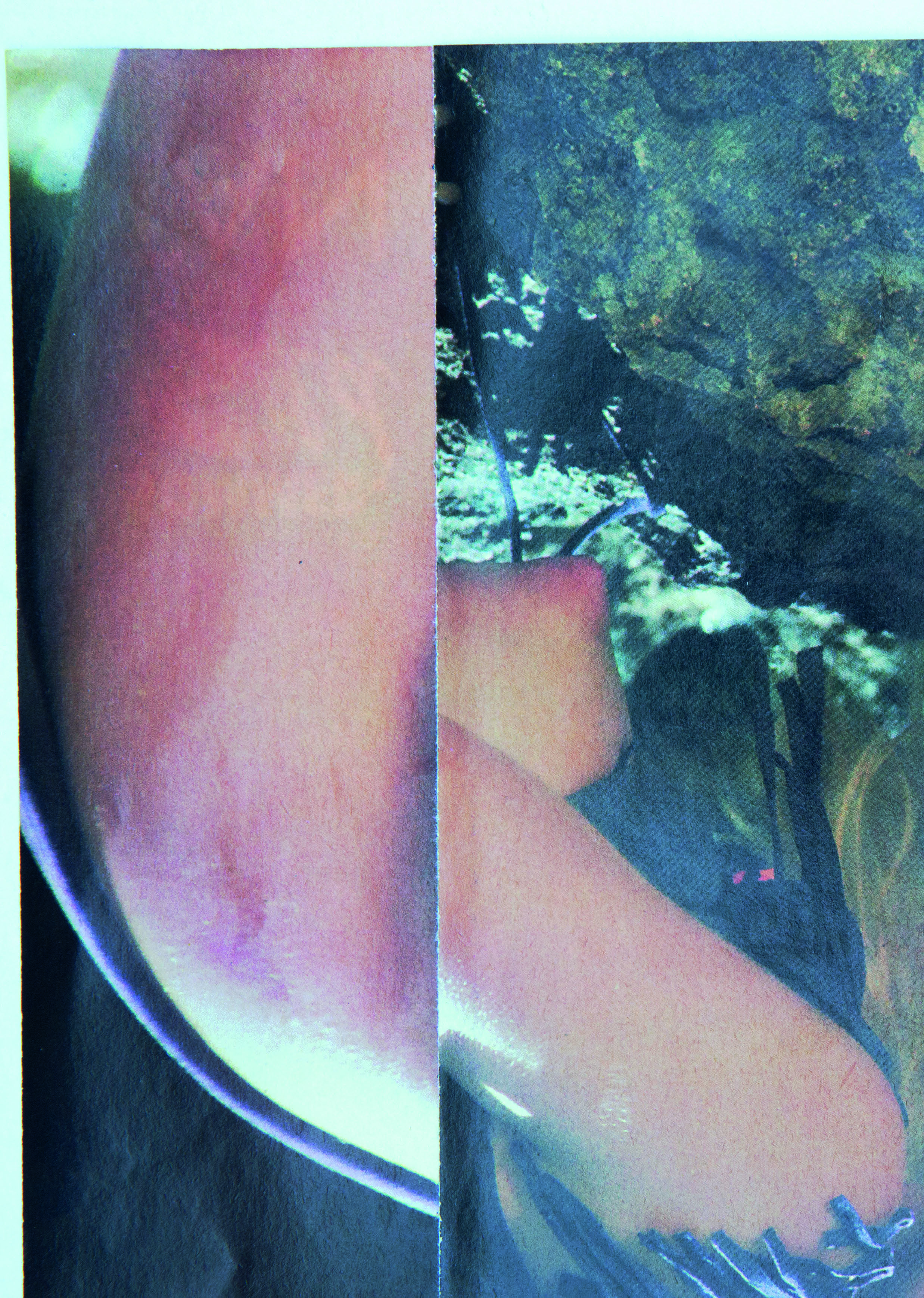
Documenting the various layers of the sourced material, the factory body and the constructed landscape, the film consists of 16mm film shot in the specific landscape of Arrábida and 3D-animation of the topographic landscape constructed with height data and particle systems.
Land topography is a digital image of the three-dimensional structure of the surface of the Earth. Topographic data sourced by NASA (National Aeronautics and Space Administration) and USG (United States Geological Survey) is exported from www.terrain.party as height maps. A height map is a raster image used to store values, such as elevation data, which can be converted into a 3D mesh and form a terrain. Topography not only gives a realistic picture of what the Earth’s surface actually looks like, it also helps scientists determine how rivers and streams drain through the landscape, where plate tectonics or erosion are building or wearing away mountains and specifies where the Earth provides minerals and materials for industrial use.
Time is physically embedded in the matter;
a continuous transformation of the whole.
A particle system is a digital graphics technique that uses a large number of small particles to simulate certain kinds of ephemeral phenomena. Examples of these replications are, but not limited to, explosions, water, fog, dust. The materiality depends on the singular particle and the movement of the system, here constructed by a force field.
The molecular is not destroyed, only restructured. There is only one earth.
Geomorphology is the scientific study of the origin and evolution of topography created by physical, chemical or biological processes operating at or near the surface of the Earth. Quarry, transport and deposition of material are direct changes to the form of the Earth’s surface by human activities. Today it is recognised that dynamic changes to the landscape are essential to its nature.
HÁ SÓ UMA TERRA
ARRÁBIDA
The film revolves around Arrábida Natural Park south of Lisbon, Portugal.
Arrábida Natural Park is located on the northern shore of the Sado River estuary in Portugal. Covering 108 square kilometres, it is one of the 30 areas, which are officially under protection in the country. The park covers the Arrábida Hills, the Mediterranean- like vegetation and
16mm film; 13 min loop
3D milled topographic map, MDF; 30x30x4cm
microclimate, a number of caves along the coast and the Serra da Arrábida, the highest point in the park at an elevation of 499 meters.
Covering a vast area of coast, caves, mountains and forest, the park is inhabited by a massive concrete factory.
”From the moment human civilizations started to build, they began to look for a material to join stones into a firm and solid mass.” In the Early 1900s, the concrete factory Outão was founded in the valley Vale da Rasca, Arrábida. Set between the limestone Arrábida hills and the clay formations, the plant is situated between raw materials and efficient ways of transportation. The Outão works complex is one of the largest concrete plants in Portugal with a daily output of 1.000 tons.
The factory Outão is centred in a valley, branching through the park via chutes and shuttle systems over and under ground to transport the porous material from the quarries to the factory, then to the shipping harbour.
The raw materials for concrete production consists of a mixture of limestone, marlstone and clay sourced from quarries and open cast mines, working along platforms or storeys along the vertical section of the Earth. Quarried blocks of material are crushed to molecular particles. In its simplest form, concrete is a mixture of paste and aggregates. The paste, composed of cement and water, coats the surface of the fine and coarse aggregates. Through a chemical reaction called hydration, the paste hardens and gains strength to form the rock-like mass known as concrete.
There is a constant movement of material through the park, covering the landscape in concrete dust.
16mm is an analogue moving image film format. Coated onto a thin layer of film, the photographic emulsion is a fine suspension of light-sensitive, solid crystals in a liquid substance. When exposed to light and later chemically developed, the formations of the crystals change to black metallic silver particles that form the image. Colour films have multiple layers of emulsion with dye added acting as optical filters.
Documenting the various layers of the sourced material, the factory body and the constructed landscape, the film consists of 16mm film shot in the specific landscape of Arrábida and 3D-animation of the topographic landscape constructed with height data and particle systems.
Land topography is a digital image of the three-dimensional structure of the surface of the Earth. Topographic data sourced by NASA (National Aeronautics and Space Administration) and USG (United States Geological Survey) is exported from www.terrain.party as height maps. A height map is a raster image used to store values, such as elevation data, which can be converted into a 3D mesh and form a terrain. Topography not only gives a realistic picture of what the Earth’s surface actually looks like, it also helps scientists determine how rivers and streams drain through the landscape, where plate tectonics or erosion are building or wearing away mountains and specifies where the Earth provides minerals and materials for industrial use.
Time is physically embedded in the matter;
a continuous transformation of the whole.
A particle system is a digital graphics technique that uses a large number of small particles to simulate certain kinds of ephemeral phenomena. Examples of these replications are, but not limited to, explosions, water, fog, dust. The materiality depends on the singular particle and the movement of the system, here constructed by a force field.
The molecular is not destroyed, only restructured. There is only one earth.
Geomorphology is the scientific study of the origin and evolution of topography created by physical, chemical or biological processes operating at or near the surface of the Earth. Quarry, transport and deposition of material are direct changes to the form of the Earth’s surface by human activities. Today it is recognised that dynamic changes to the landscape are essential to its nature.
HÁ SÓ UMA TERRA